


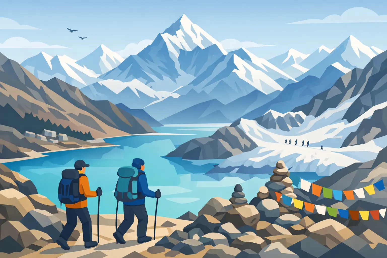
Everest Base Camp Trek via Gokyo Lakes and Cho La Pass
The Everest Base Camp trek via Gokyo Lakes and Cho La Pass is for travellers who want more than the familiar trail to Base Camp. It combines the deep-blue lakes of Gokyo, the outstanding viewpoint of Gokyo Ri, a high Himalayan pass, and the classic Khumbu route to Everest Base Camp and Kala Patthar. It is a longer, more demanding journey, but the rewards are equally greater: quieter valleys, wider mountain views and a genuine sense of travelling through the heart of the Everest region.
For many trekkers, this is the most complete Everest itinerary. Rather than retracing the same path, the route forms a remarkable circuit through Sherpa villages, glacial landscapes and high mountain terrain beneath some of the world’s highest peaks.
Why choose the Gokyo Lakes and Cho La Pass route?
The standard Everest Base Camp route is deservedly popular, yet the Gokyo and Cho La variation offers a different rhythm. From Namche Bazaar, the trail leaves the busier main valley and follows the Dudh Koshi towards Dole, Machhermo and Gokyo. The landscape opens dramatically as you approach the Ngozumpa Glacier, the largest glacier in Nepal, with Cho Oyu rising above the valley.
Gokyo itself feels wonderfully remote. Its lakes sit beneath towering peaks, their colour changing with the weather and light. An early ascent of Gokyo Ri, usually before breakfast, offers one of the finest panoramic viewpoints in the Himalaya. From its summit, trekkers can see Everest, Lhotse, Makalu and Cho Oyu, as well as the vast glacier below.
The route then crosses Cho La Pass at around 5,420 metres before joining the trail through Dzongla and Lobuche towards Everest Base Camp. This crossing is what makes the itinerary more adventurous. It can involve snow, ice and a rocky descent, particularly early or late in the trekking season, but it also provides an unforgettable transition between two distinct Himalayan valleys.
The route at a sensible pace
A well-planned trek generally takes around 17 to 20 days from arrival in Kathmandu to departure, depending on flight schedules, acclimatisation needs and weather. Rushing this route is rarely worthwhile. A good itinerary allows the body time to adjust and provides flexibility if conditions change.
Kathmandu to Namche Bazaar
The journey begins with a flight to Lukla, weather permitting, followed by the first days of walking through Phakding and along the Dudh Koshi valley. Suspension bridges, mani stones and small settlements make this section feel like a cultural introduction as much as a trek.
Namche Bazaar is the key acclimatisation stop. Set on a hillside above the river, this lively Sherpa town has bakeries, equipment shops, cafés and mountain views that hint at what lies ahead. A rest day here should still include gentle activity, often a walk towards Everest View Hotel or Khumjung village, before returning to sleep lower in Namche.
Namche to Gokyo
From Namche, the route turns towards the Gokyo Valley. The walking is gradual at first, then increasingly alpine as you pass through Dole and Machhermo. Tea houses become simpler, the air cooler and the scenery more open.
A rest day in Gokyo is strongly recommended. The climb to Gokyo Ri is steep but non-technical, and it is best tackled early when skies are often clearest. Trekkers who feel well may also walk beside the lakes or towards the glacier later in the day, but the priority remains recovery before the pass.
Crossing Cho La Pass
Cho La Pass is the route’s most challenging day. Trekkers normally start before dawn, when the snow is firmer and the weather is more settled. The approach climbs over rough ground, while the pass itself may be icy. Microspikes can be useful when conditions require them, and experienced local guides will assess the route, pace and weather carefully.
The descent towards Thagnak and Dzongla demands concentration. It is not a technical mountaineering climb, but it should never be underestimated because fatigue, altitude and changing conditions can make simple terrain feel difficult. The long day is followed by the comfort of a lodge and the satisfaction of knowing the route now leads towards Everest Base Camp.
Everest Base Camp and Kala Patthar
After joining the main Khumbu trail at Lobuche, the trek continues to Gorak Shep and Everest Base Camp. Reaching Base Camp is an emotional moment for many travellers. The terrain is rocky and glacial rather than a single dramatic summit, but the surrounding icefall, prayer flags and enormous walls of the Khumbu bring the scale of Everest close.
Kala Patthar, usually climbed around sunrise or sunset, provides the classic view of Everest itself. At roughly 5,545 metres, it is the highest point of the trek and can feel tough after many days at altitude. Yet the sight of Everest, Nuptse and the Khumbu Glacier lit by the changing mountain light is often the memory trekkers carry home most vividly.
Acclimatisation is the foundation of the trek
Fitness matters, but acclimatisation matters more. Even strong walkers can develop altitude symptoms if they climb too high too quickly. The right approach is to follow a gradual itinerary, drink regularly, eat adequately and speak honestly with your guide about headaches, nausea, poor sleep or unusual fatigue.
A reputable trekking plan builds in rest days at Namche and Gokyo, limits major gains in sleeping altitude, and leaves room for adjustments. Some travellers need an additional night at a lower village; others may need to turn back rather than cross Cho La. That is not a failure. The mountains will still be there, while good judgement keeps a holiday from becoming a medical emergency.
Brothers Team plans each trek with acclimatisation, guide support and practical contingency arrangements at the centre, not as an afterthought. Local knowledge is especially valuable on a route where weather, trail conditions and Lukla flight operations can all affect the schedule.
How fit do you need to be?
This trek suits active travellers with strong walking fitness, determination and the ability to manage several long days in a row. You do not need technical climbing experience, but you should be comfortable walking for five to eight hours on uneven trails, climbing sustained hills and carrying a daypack.
Training should begin several months before departure where possible. Regular hill walking is ideal, but stair sessions, long weekend walks, cycling and strength work for the legs and core all help. Focus on consistency rather than one exhausting workout. If you can complete back-to-back full days of walking comfortably, you will arrive with far more confidence.
The pass is the main reason to prepare thoroughly. Cold starts, altitude and variable snow conditions make it harder than its distance alone suggests. Travellers with knee concerns may also appreciate trekking poles for the descents.
Tea house comfort and what to pack
Accommodation on the route is in tea houses, which are simple mountain lodges offering twin rooms, shared dining spaces and hearty meals. Facilities become more basic as altitude increases. Hot showers, charging and Wi-Fi may be available for an additional charge, though availability can be affected by weather and demand.
Pack for changing conditions rather than extreme bulk. A warm down jacket, waterproof outer layer, thermal base layers, gloves, hat, sunglasses and a reliable sleeping bag are essential. Well-worn trekking boots are far better than new boots, and a small personal first-aid kit is sensible. Keep important medication and a spare layer in your daypack, not in the duffel carried by porters.
Travel insurance must cover trekking at the relevant altitude and emergency helicopter evacuation. It is also wise to allow a few extra days in Nepal after the trek, as mountain flights can be delayed by cloud or wind.
When to go
Spring, from March to May, and autumn, from late September to November, are the usual trekking seasons. Spring brings warmer afternoons, rhododendron blooms at lower elevations and occasionally more haze. Autumn often offers crisp air and exceptionally clear views, though trails and lodges can be busier.
Winter can provide peaceful trails and striking clarity, but Cho La may be more difficult or temporarily closed by heavy snow. During the monsoon months, rain, cloud and flight disruption are more likely. The best season depends on whether you value stable temperatures, quieter trails or the clearest possible mountain views.
This route asks for patience as well as effort. Take the time to train, choose an itinerary that respects the altitude, and let the mountains set the pace. When you stand above the Gokyo Lakes or watch first light reach Everest from Kala Patthar, every measured step will feel worthwhile.


Comments are closed